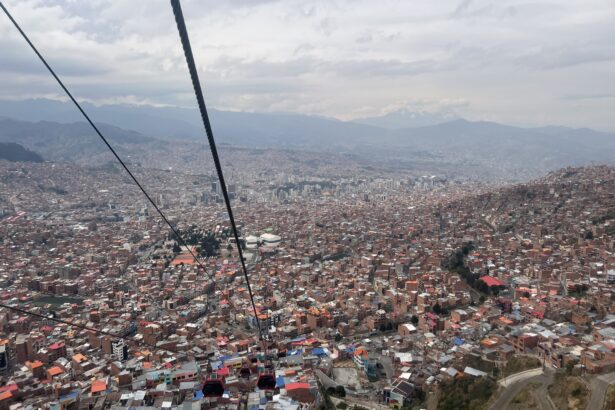
La Paz, Bolivia is one of the two political centers of the country and is a large and modern city. It is uniquely built into a river valley, giving unique features of incredibly steep neighborhoods of homes stacked upon each other. Because of this unique physical and urban landscape, it is a challenging city to navigate but the following La Paz transportation options should make it easier for you to get around during your visit.
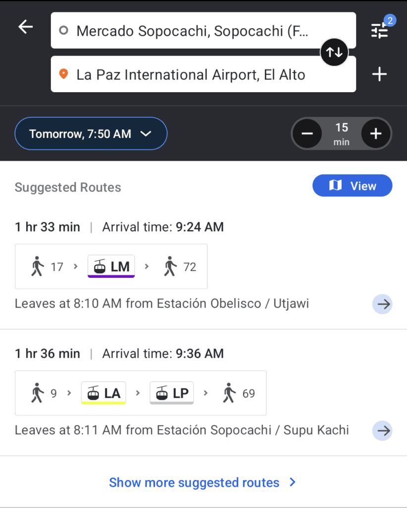
Google Maps may not be the best tool for navigating the city because it has not integrated the teleferico and bus systems into the public transportation navigation of the city (May 2024). However, the application Moovit does display the transportation options in the city of La Paz. Because it uses both crowd-sourced and public transit data, it can provide information in areas that use private forms of transportation. On the application, similarly to Google Maps or other transit applications, you just need to enter your start and your end destination and it will give you the transportation information, the times, and the transit company.
Walking Around the Neighborhoods of La Paz, Bolivia

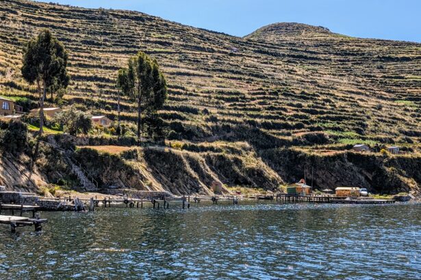
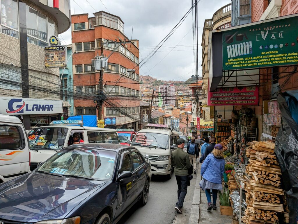
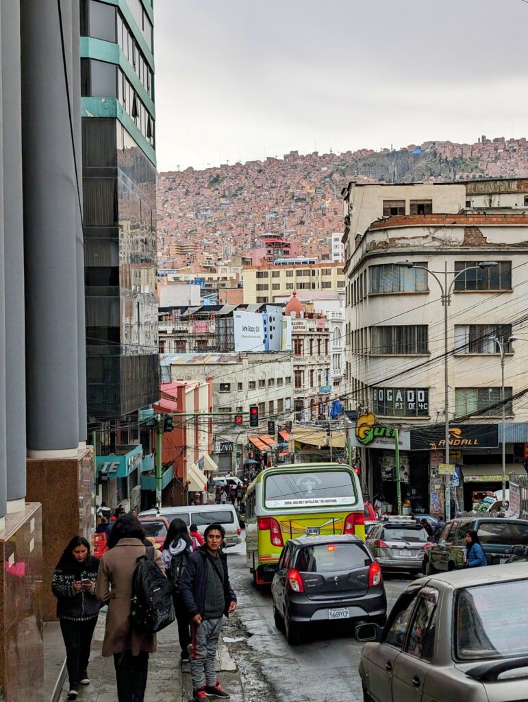
Not only is the city large and sprawling, but it is also built into the valley of mountains, making it a pretty hilly and steep area to explore on foot. (In fact, when walking around, we felt like we were always going uphill, no matter where in the city we were.) However, walking is still a great way to explore specific neighborhoods and areas to understand how the city is constructed. It is safe to walk around most neighborhoods within the center of the city. However, consider other means of transportation when getting between neighborhoods.
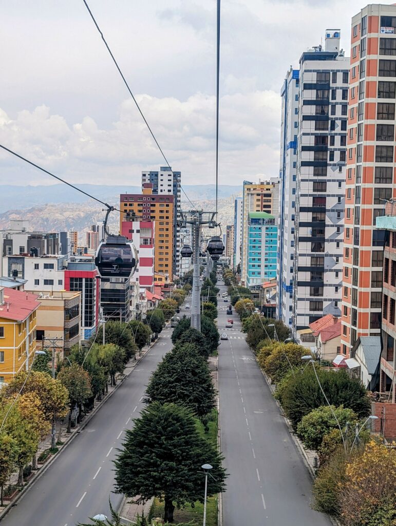
Using Telefericos to Explore La Paz, Bolivia
This is the public transportation that has completely modernized the city and has made challenging areas much easier to access. La Paz is built in a steep valley and much of the city is on mountainsides. The telefericos make a loop around the city, which is a great way to see the city from a unique vantage point and has made the city more accessible to its residents.
To obtain tickets for the telefericos, you can purchase a card from any teleferico station with cash. You will also want to load some money on the card to take the telefericos around town. Each ride is about 3 Bolivianos so load on as much money you think you might need. You can always add more money to the card as you go.
The Moovit application can help determine the best routes to get around the city using the telefericos. You can also use them as a tour to travel around the city. You can read more about the loop that you can do with the telefericos in La Paz here.
What About Taxis and Ubers in La Paz, Bolivia
If you want to take a form of transportation that will get you from one door to another, you can always use taxis or Uber. Uber allows you to put in directions without speaking Spanish, making it easy for any tourists in the city. In addition, with Uber, you are sure about the legitimacy of the vehicle.
With taxis, this may not always be the case. However, if a taxi has the name of the company for which they work and their unique taxi code on the side of the car, they are a legitimate taxi. You will need cash to pay for any taxis in the city of La Paz.
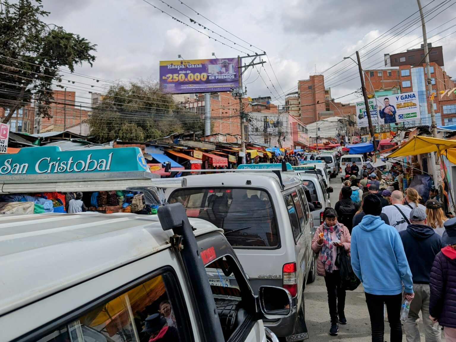
The Bus System of La Paz, Bolivia
The buses of La Paz are micro but mighty. These little buses dominate the traffic system of the city and are the main way that local La Paz residents get around the city. You can find different routes on the Moovit app.
The buses look more like vans zipping around the city and you can see where they are going based on the list of destinations in their windows. In order to take one, you have to wave it down as it passes the listed stop. You will hop into the bus and tell the driver your destination. As you approach your destination, you will tell the driver that you want to get off the bus. There, you will hop off the bus and pay the driver in cash through the window.
You can use the microbus system from the La Paz airport to the Sopocachi neighborhood (recommended neighborhood for tourists). The microbus is called “Aereopuerto-Contratur” and it will take you to the center of the neighborhood at Plaza Isabel la Catolica, which is one of the main neighborhoods for tourists to stay in. From the airport, the bus will put your large baggage on the top of the bus and remove it when you arrive at your destination. The microbus system can be efficient and direct to get you to your destination.