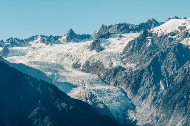
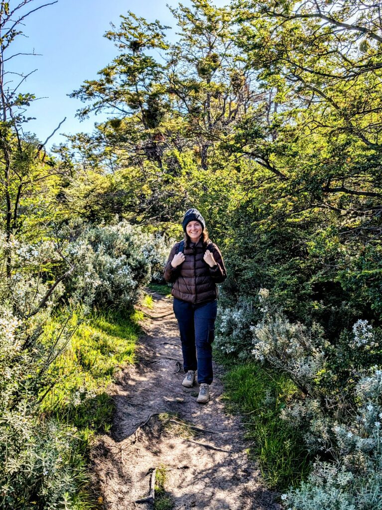
Tierra del Fuego National Park is a beautiful national park, just outside of Ushuaia at the southern tip of Argentina and South America. It is named for the native populations who used to live in these mountains and used fires to keep themselves warm. These mountains are part of the Andes Mountain range and are some of the youngest mountains of this range.
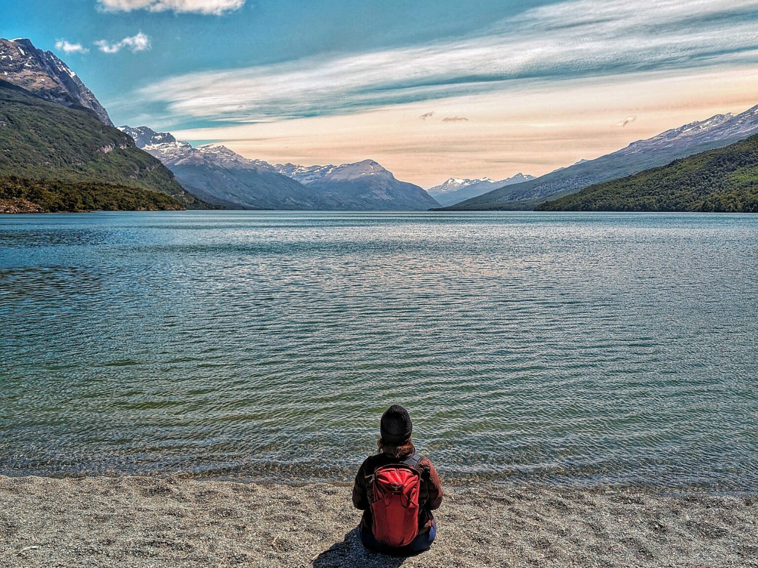
Only 45 minutes outside of Ushuaia, this park is absolutely worth visiting. When walking through, you will often find yourself between the ocean and the mountains, providing you with beautiful scenery wherever you turn.
How to Get to Tierra del Fuego National Park
From Ushuaia, there are buses that will take you directly to and from the national park, Tierra del Fuego. They depart almost every hour from Ushuaia and return every two hours in the afternoon. There are a few bus companies that provide the same service, at the same times, for the same price. Confusing? Yes. But we are here to help you through this! It does not matter which company you choose to go with. They will tell you the names on the large vans to look for that correspond to your company. The bus drivers can also help direct you to the right bus, since they all depart at the same time.
The buses depart almost hourly from Ushuaia, starting at 9 am, and return from Tierra del Fuego every two hours in the afternoon, 3 pm, 5pm, and 7 pm.
The Ride to Tierra del Fuego National Park
We recommend going on the first bus (at 8:50 am) to maximize your time in Tierra del Fuego National Park and start your adventure with as few people as possible.
The first stop that the bus makes is for the Train at the End of the World. This train was originally constructed by prisoners in Ushuaia to help gather supplies from the forest and bring them into town. It can absolutely be added to your trip if you are interested in learning more about the prison history of Ushuaia. The train is about an hour long and once you get to the end of the train line within Tierra del Fuego National Park, you can either take the train back or walk 30 minutes to the “End of the World” post office. There are a number of tour groups that help put together the train experience as part of your visit to the national park and tickets to the train can be found here.
If you do not take the train, stay on the bus and the next stop will be to purchase your entry into the Tierra del Fuego National Park. Besides purchasing your entry into the park, there is one hike that you have to notify the rangers here prior to doing it. (We will talk more about this hike under the section “Different Hikes to Do in Tierra del Fuego”).
The Post Office at the End of the World
You will then return to the bus and continue onto the third stop, which will be the Post Office at the End of the World. This unique destination is really a functioning post office and a fun stop before hiking through the park. The post office opens at 10 AM so if you take the first bus into Tierra del Fuego National Park, you will get here right on time. You can purchase postcards and stamps and mail yourself or friends some unique souvenirs.
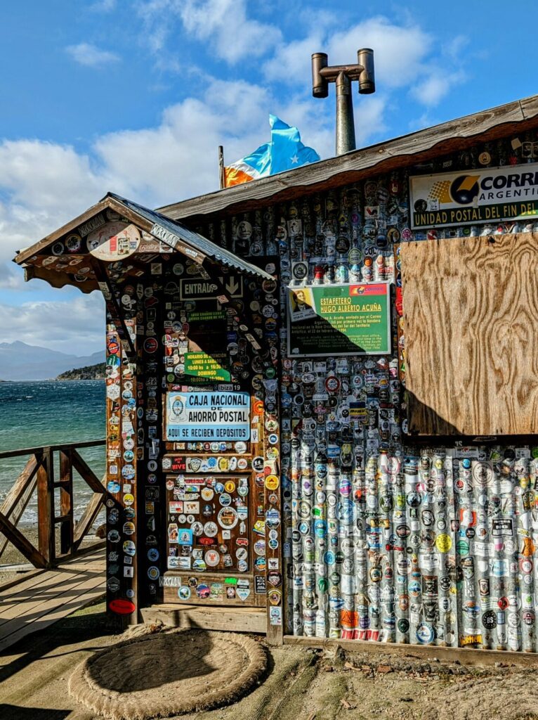
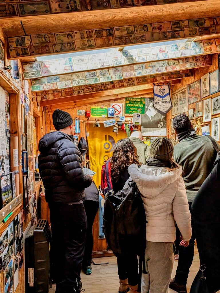
A few things to note about the post office experience. It will get busy and there will be a line. If you end up in this line, there’s no need to shove around the space to find what you need. You will have plenty of time to peruse their offerings as you make your way up to the front. In addition, this post office is cash only! They accept different currencies however, including US dollars, Argentine pesos, and Euros.
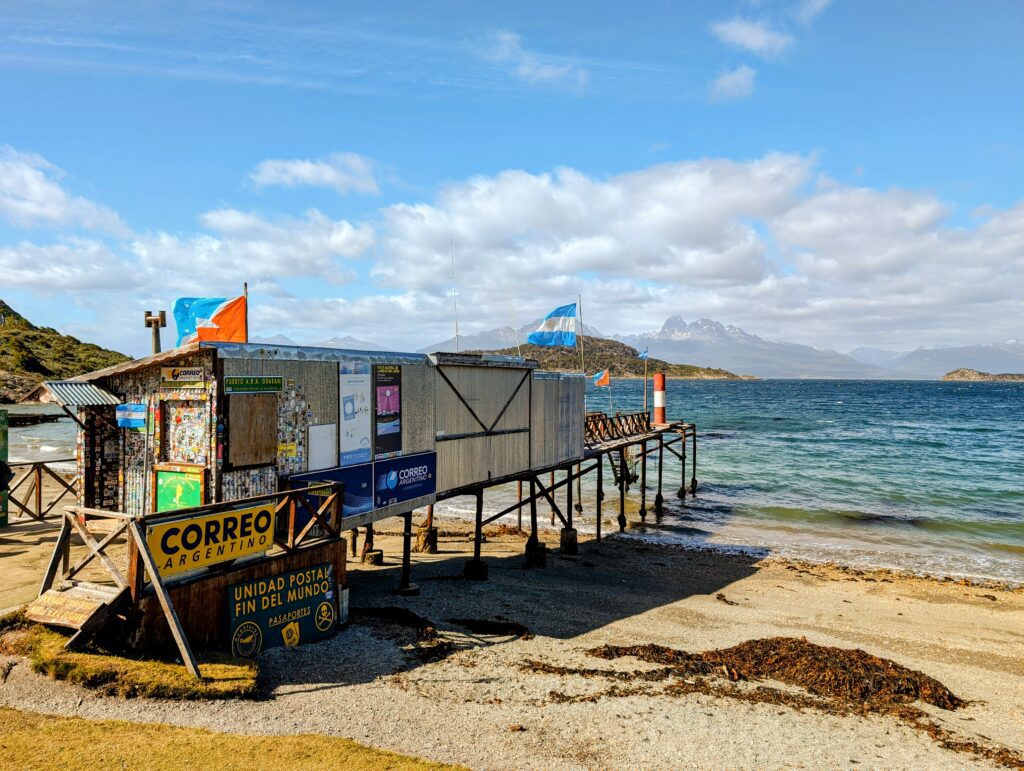
From the post office, you can walk to other portions of the park on a beautiful easy-to-moderate, 5-mile walk, described below.
The Different Hikes to Do in Tierra del Fuego National Park
If you do not stop at the post office, the next two stops on the bus will be the spots where most of the hikes lead from. The first of these is the visitor center and the last is the end of the Pan-American highway.
Below are some of the most popular hikes in Tierra del Fuego National Park, information about their difficulty, and links to AllTrails, a website and application that allows you to see the terrain, route, and reviews of each of the hikes listed. AllTrails is a great application for hikers. It allows you to search for hikes in the region, download trail routes, and track the hikes that you do through a yearly subscription.
The Costera Trail
Distance:
5 miles (8 kilometers)
Elev. Gain
928 ft (283 m)
Time:
2.5 hours
Difficulty:
Easy – Moderate
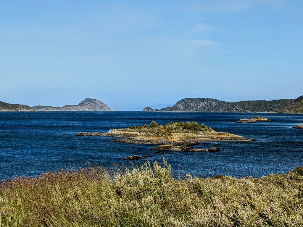
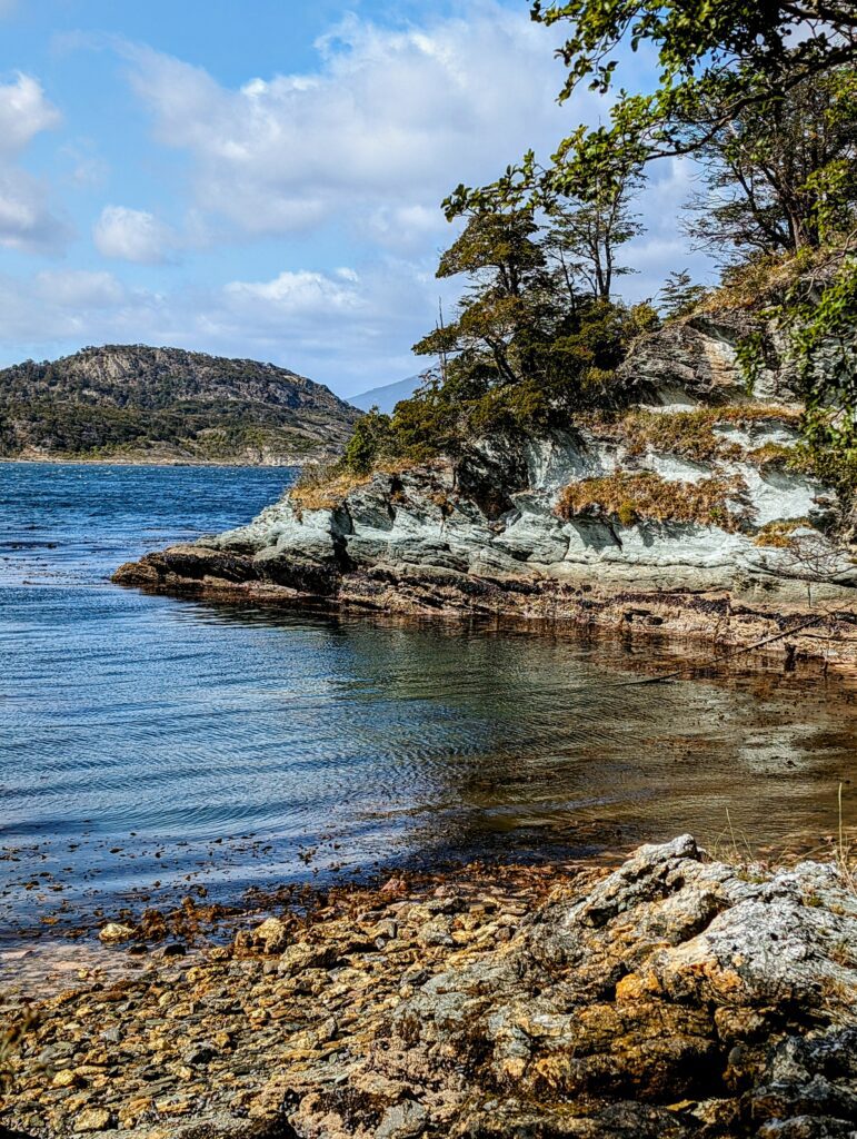
Starting from the Post Office at the End of the World, this trail goes along the coast of the Beagle Channel, with incredible views of the channel and mountains that surround it. You walk through the forest, along the beaches, and through meadows with beautiful views everywhere you go.
It is a relatively easy 5-mile hike, with a few uphill walks here and there. If you take the bus, you do not need to return to the starting point, since the bus will pick you up very close to where this hike ends. The end of the hike is at the visitor center, where you can find a restaurant, gift shop, and post office.
Hito XXIV Trail
Distance:
6.5 miles (10.5 kilometers)
Elev. Gain
886 ft (270 m)
Time:
3 hours
Difficulty:
Easy – Moderate
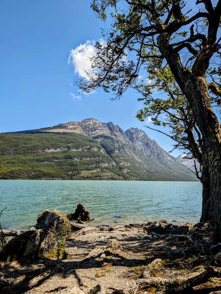
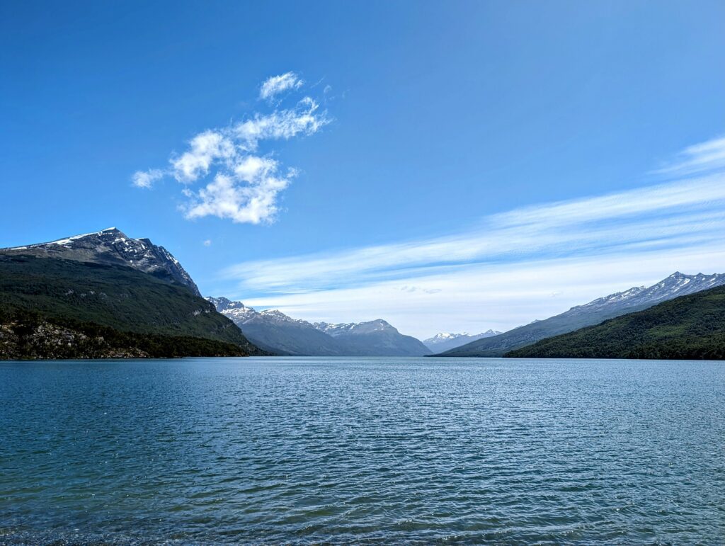
Starting from the visitor center, this hike begins with a small trek along a road. Once you get to the lake, the true hike starts. At some point, you will reach a fork in the road between two different hikes and you will continue to the left. If things are unclear, just follow the signs. The path takes you along the lake, weaving you between the edge of the lake and the forest. The lake is surrounded by mountains, making it a beautiful backdrop to this hike.
Ultimately, you will reach Milestone XXIV, the official boundary between Chile and Argentina, indicating the end of this trail. Your only option for this trail is to return the same way you came.
Lapataia Viewpoint Trail
Distance:
2.5 miles (3.3 kilometers)
Elev. Gain
315 ft (96 m)
Time:
1 hour
Difficulty:
Easy
From the visitor center, we walked to the official sign indicating the end of Route 3. This route is the Pan-American highway, going from the top of Canada to the very tip of Argentina. This walk started on the official dirt roads of the park but we ultimately got to an area with trails, guiding us through the forest until we reached the sign. This part of Tierra del Fuego has multiple different trails with viewpoints.
All of these trails are easy and take less than an hour to complete. In addition, there is a boardwalk behind the signs with information regarding the native populations of the area (in English and Spanish). The bus can pick you up from the End of the World sign.
Cerro Guanaco Trail
Distance:
8.5 miles (13.8 kilometers)
Elev. Gain
3,421 ft (1,043 m)
Time:
6 hours
Difficulty:
Hard
The Cerro Guanaco trail leads to a peak in the Tierra del Fuego National Park. It is the most challenging hike in the park and you have to tell the rangers at the ticket office that you want to do the hike. Reviews of the hike are excellent but people say to bring layers. Because of the elevation change, the temperature may vary greatly. However, on a clear day, the views from the summit are sure to be spectacular. Depending on the weather conditions this trail may end up being closed during your visit.
The Blueprint Travelers Hiking Staples


Different Itinerary Options
1 Day in Tierra Del Fuego National Park (Challenging)
- Take the first bus from Ushuaia and get dropped off at the Post Office at the End of the World
- Hike the Costera Trail
- Get lunch or eat lunch at the park center
- Hike the Hito XXIV Trail
- Walk over to the Lapataia Viewpoint Trail, do some of the hikes here, take photos at the “End of the World” and walk the boardwalk to learn about the local native populations.
- Take the 7 pm bus when you are done exploring
Total Miles/Kilometers: 13.5+ Miles (21 KMs)
*1 Day in Tierra del Fuego National Park (Medium) - Recommended*
- Take the first bus from Ushuaia and get dropped off at the Post Office at the End of the World
- Hike the Costera Trail
- Get lunch or eat lunch at the park center
- Walk over to the Lapataia Viewpoint Trail, do some of the hikes here, take photos at the “End of the World” and walk the boardwalk to learn about the local native populations.
- Take the 5 pm or 7 pm bus when you are done exploring
Total Miles/Kilometers: 7+ Miles (11.25 KMs)
1 Day in Terra del Fuego National Park (Easy)
- Take any morning bus from Ushuaia and get dropped off at the End of the World sign.
- Hike around the Lapataia Viewpoint Trail, doing as many of the walks as you want.
- Eat lunch at the End of the World sign parking lot.
- Get picked up here by the bus anytime in the afternoon
Total Miles/Kilometers: 3+ Miles (5 KMs)
I Want to Do It All - A 2 Day Challenge
- Take the first bus from Ushuaia and get dropped off at the Post Office at the End of the World
- Hike the Costera Trail
- Get lunch or eat lunch at the park center
- Hike the Hito XXIV Trail
- Get picked up at the park center
Day 1 Miles/Kilometers: 11.5 Miles (18.5 KMs)
- Take the first bus from Ushuaia and get dropped off at the park center
- Hike the Cerro Guanaco Trail, eating lunch on the trail
- If you need more food, get some at the park center
- Walk over to the Lapataia Viewpoint Trail, do some of the hikes here, take photos at the “End of the World” and walk the boardwalk to learn about the local native populations.
- Take the 5 pm or 7 pm bus when you are done exploring